Greater Cleveland
Every site. Every structure. From above.
Aerial documentation for construction projects — plus homes, stadiums, arenas, big buildings, sidewalks and bridges. Consistent viewpoints, organized files and straightforward pricing.
An organized visual record
Built by someone who knows what the project team needs to see.
Hi, I'm Peris Taylor — a civil engineering student with construction inspection experience. I capture your project from initial site conditions and earthwork through structural construction and final completion.
Consistent viewpoints between visits make it easy to compare progress and share updates with owners, project managers and other stakeholders.
More about Peris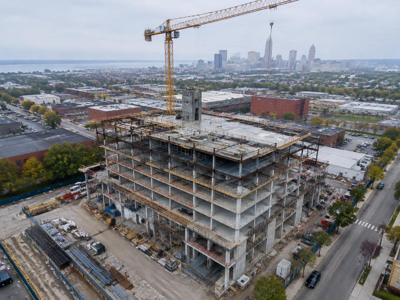
What we fly
Construction first. Everything built, too.
About two-thirds of our flights document active construction. The rest capture homes, venues, architecture and infrastructure.
Core service · ~2/3 of our work
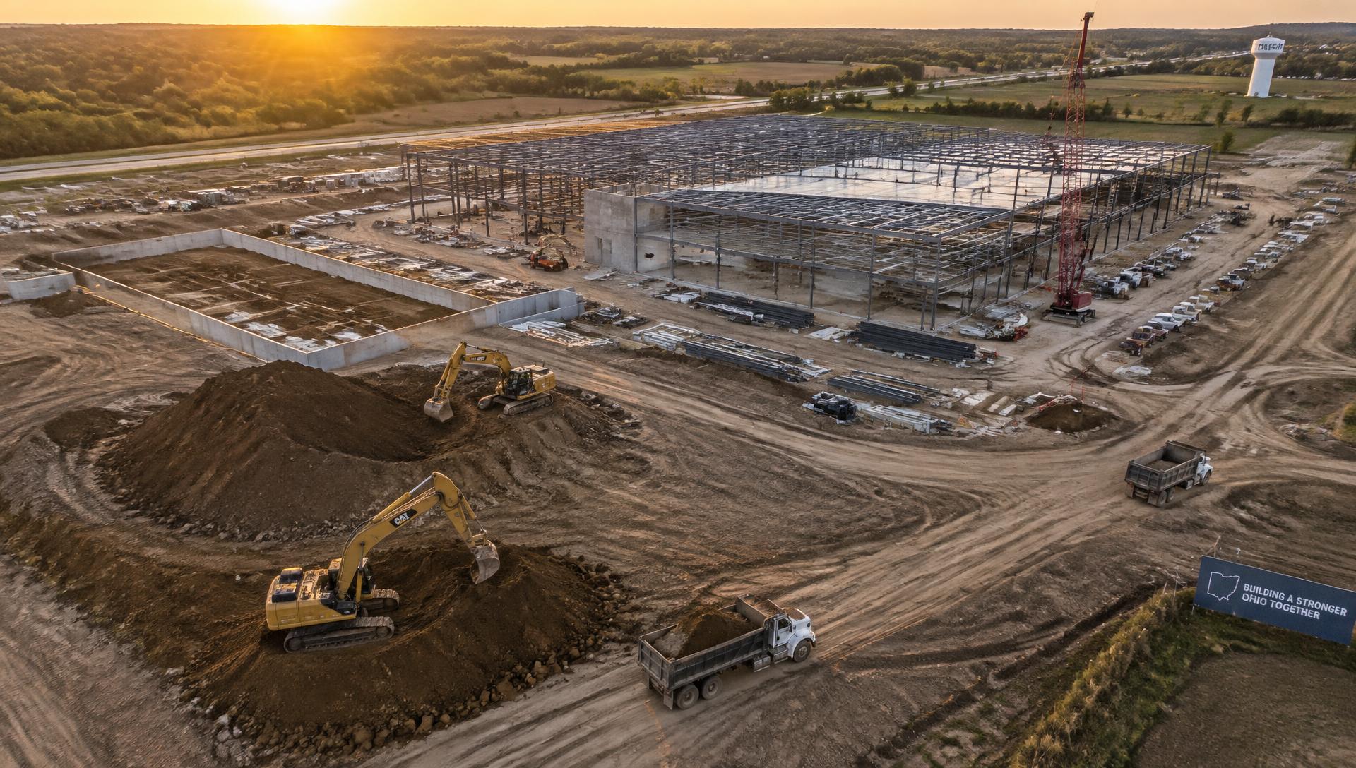
Construction progress
Our core service — repeatable aerial records from groundbreaking to closeout.
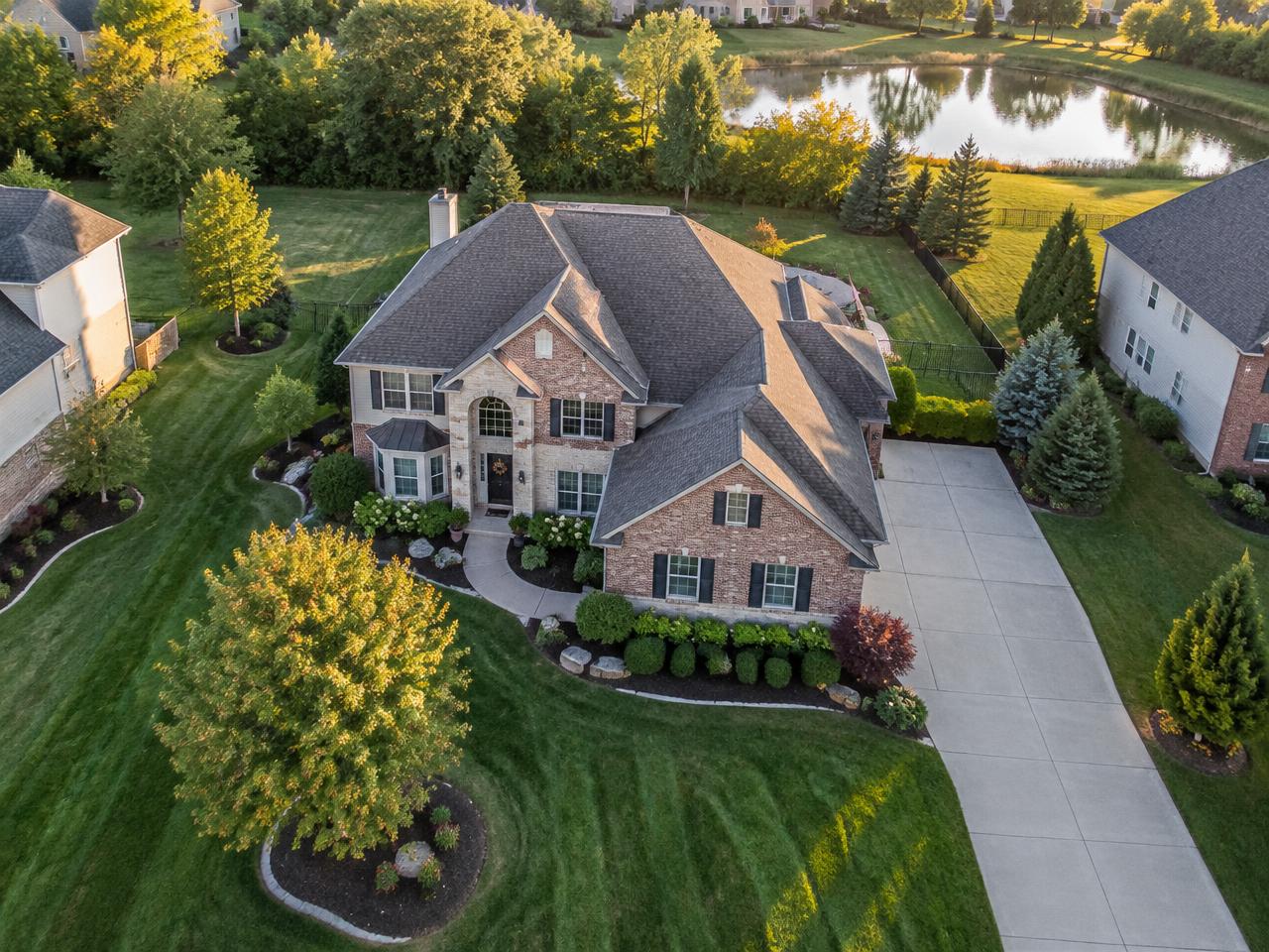
Residential
Homes, roofs, lots and neighborhoods for owners, builders and agents.
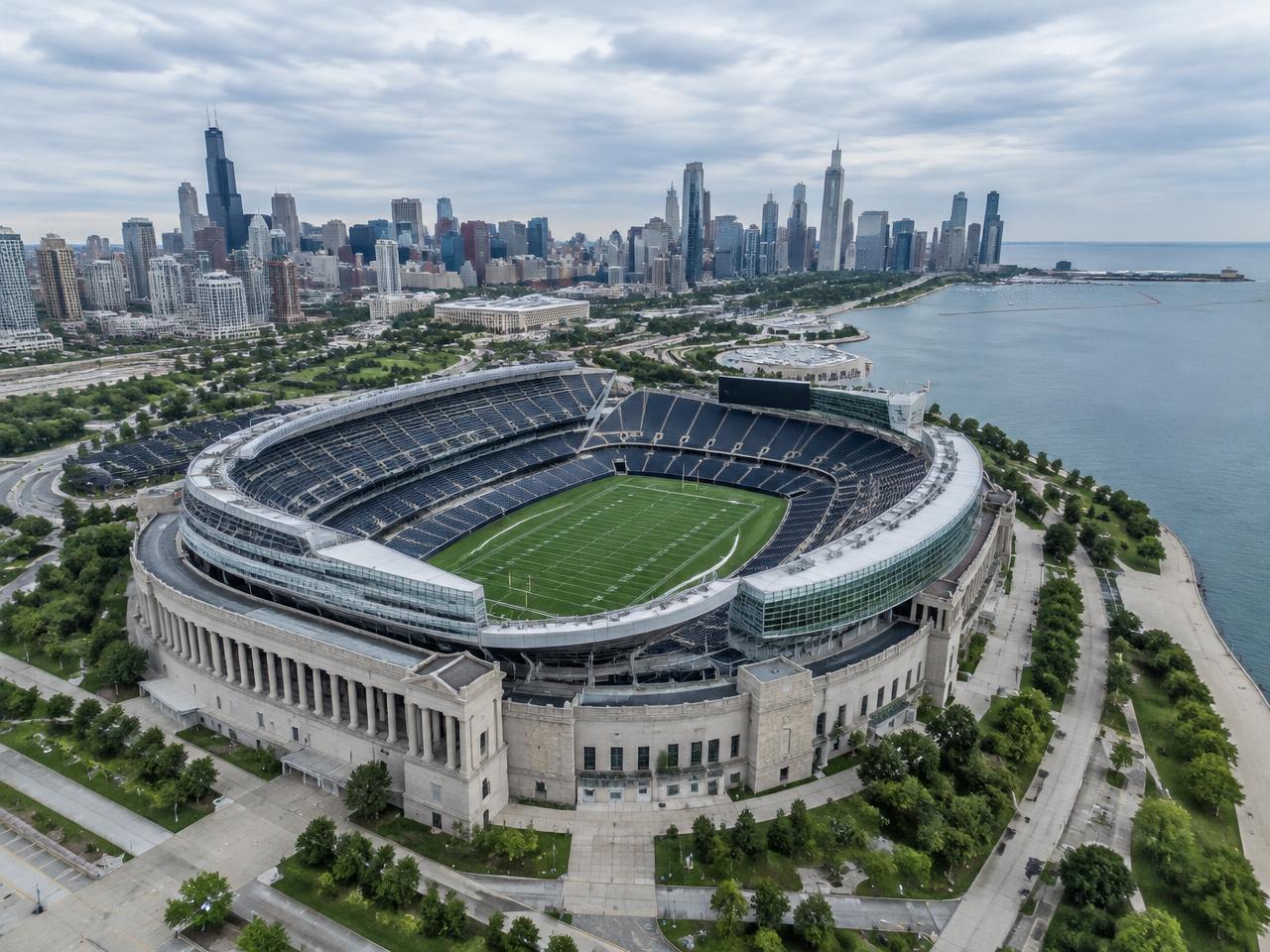
Stadiums & arenas
Football stadiums, basketball arenas and large venues, inside the rules.

Buildings & architecture
Towers, landmarks, campuses and finished projects shown at their best.
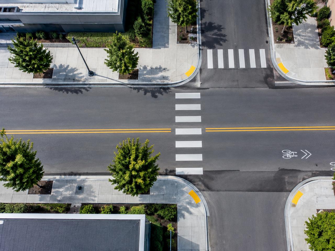
Sidewalks & streetscapes
Sidewalks, crosswalks, curb ramps, plazas and parking from straight overhead.
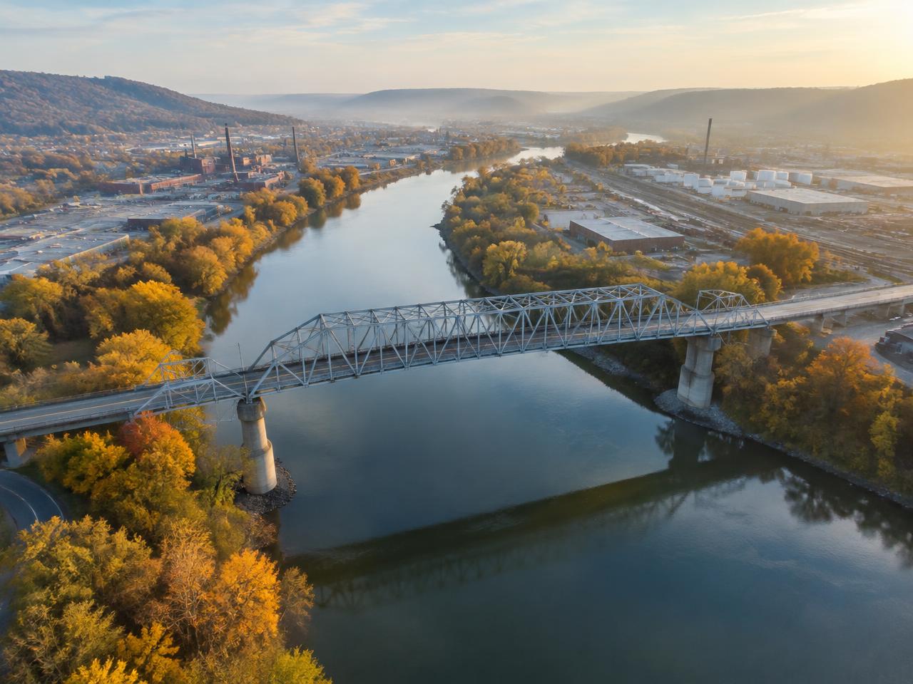
Bridges
Visual records of bridges, overpasses and river crossings.
Progress documentation
Simple, per-visit pricing
Every standard visit includes 10–15 aerial photos and a 45–90-second edited video, delivered within two business days. Commit to more visits, pay less per visit.
Single visit
One-time visit
$275/ visit
6–11 scheduled visits
Recurring coverage
$249/ visit
12+ scheduled visits
Extended coverage
$229/ visit
Start to finish
What gets documented at each stage
- 01Before mobilizationOverall site, access routes, adjacent visible conditionsA dated visual baseline
- 02Clearing & demolitionClearing limits, demolition progress, debris handlingA record of site transformation
- 03Earthwork & gradingExcavation areas, stockpiles, exposed ground, equipmentProgress & coordination context
- 04FoundationsFoundation areas, slabs, retaining structuresA record before later work obscures them
- 05Underground utilitiesOpen trenches and visible installationsContext before backfill
- 06Structural constructionFraming, steel erection, floor progressionOwner updates & milestone evidence
- 07Building enclosureRoof installation, exterior walls, façadeExterior progress documentation
- 08Site improvementsRoads, parking, sidewalks, landscaping, drainageRemaining vs. completed exterior work
- 09CompletionFinished building and site from coordinated viewpointsCloseout imagery & marketing assets
- 10Later follow-upRepeat exterior views at agreed intervalsA visual history of visible change
Aerial imagery documents what was visible at the time of the flight. It does not verify concealed work, dimensions, installation quality or compliance — an open-trench photo records the trench; it does not certify pipe slope or buried utility location.
2D · 3D · CAD
Mapping & Civil 3D deliverables
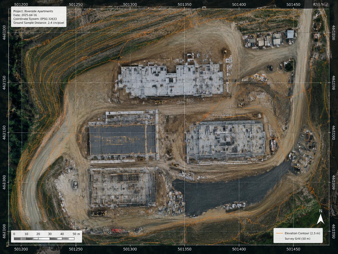
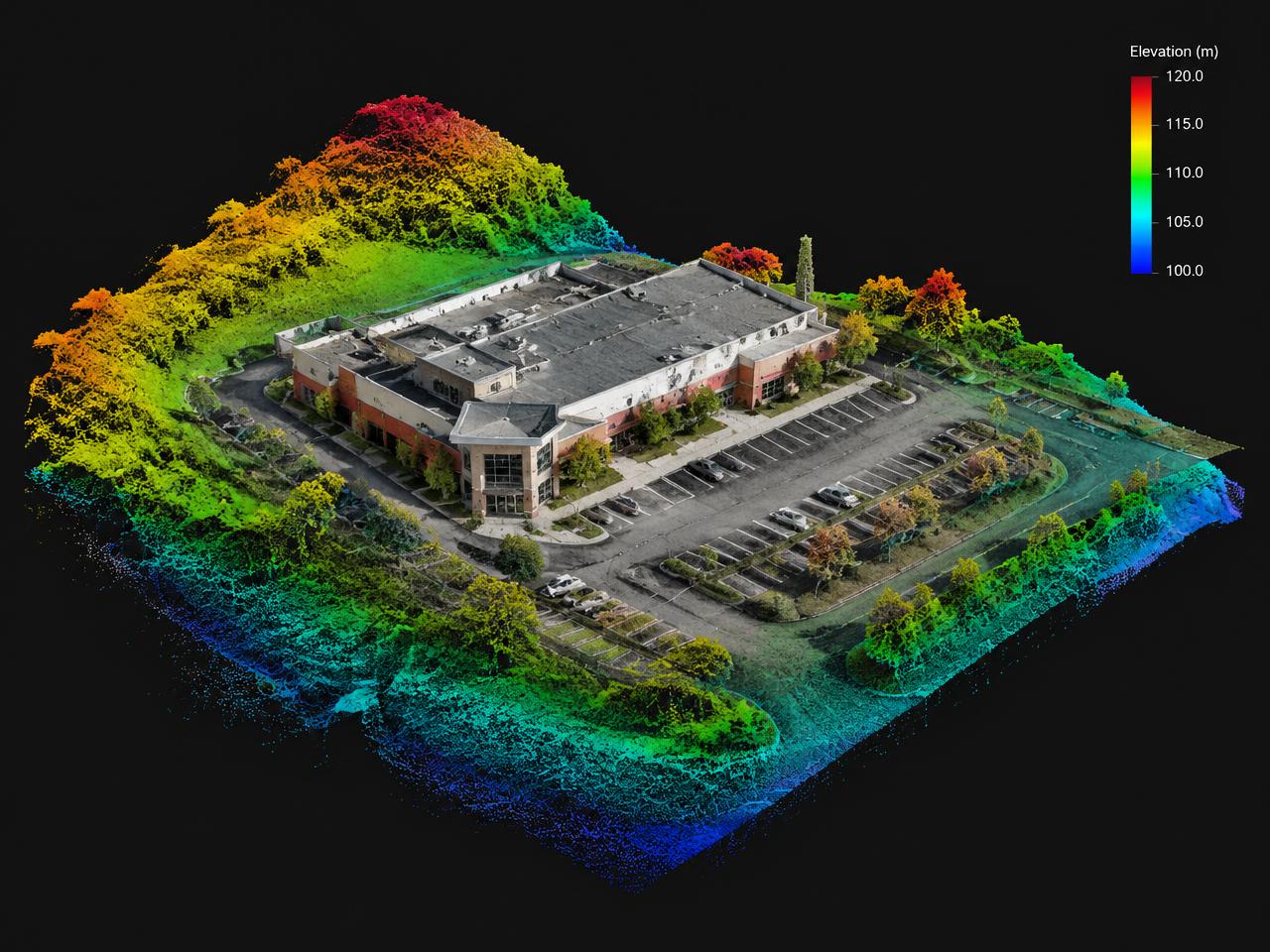
For projects that need more than photos, we scope orthomosaics, 3D models, point clouds and terrain surfaces separately — starting with intended use, accuracy, coordinate system and professional oversight.
Schedule your first flight.
Single visit, weekly, monthly or milestone-based — tell us about your site and we'll propose a schedule.